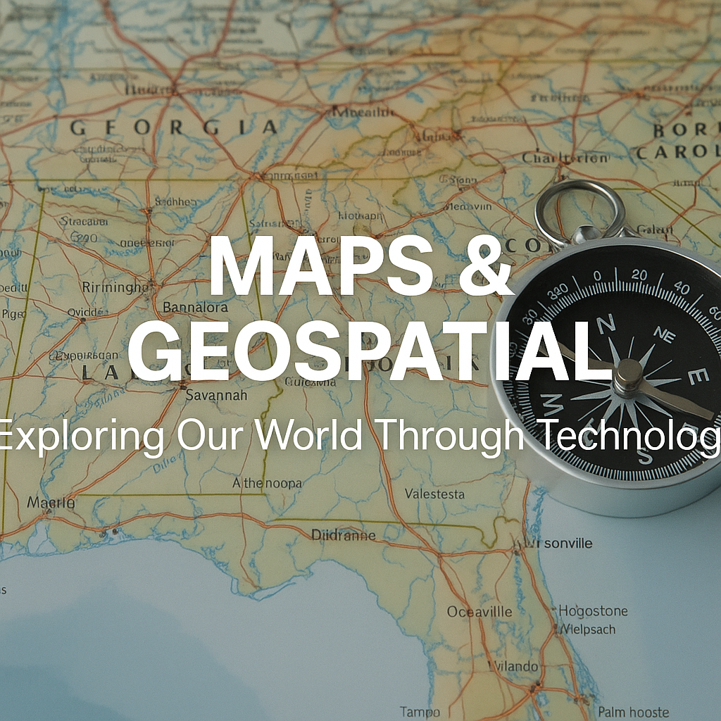
🧭 What Is Geospatial Technology?
Geospatial technology refers to tools and techniques that collect, analyze, and visualize geographic data. These include:
- GIS (Geographic Information Systems)
- Remote Sensing (via satellites or drones)
- GPS (Global Positioning System)
- Cartography (digital & traditional map-making)
These tools are now used across industries from agriculture to disaster management, urban planning, and even e-commerce.
🔍 Key Components of Geospatial Technology
1. GIS (Geographic Information Systems)
Stores, manipulates, and analyzes spatial data.
🧭 Learn More: Esri GIS Explained
2. Remote Sensing
Captures data from satellites, drones, and aircraft to monitor Earth's surface.
🛰 Tool: NASA Earthdata
3. GPS
A satellite-based system that provides location and time information anywhere on Earth.
4. Cartography
The art and science of creating maps. Today, it's mostly digital.
🌍 Real-World Applications
🏙️ Urban Planning
Maps help visualize city growth, manage traffic flow, and design infrastructure.
🌾 Agriculture
Precision farming uses GPS and remote sensing to optimize crop yield.
🛒 Logistics & E-commerce
Companies like Amazon and Zomato use geospatial tracking for fast deliveries.
🧑🚒 Disaster Management
Helps responders identify high-risk zones and plan evacuations.
📈 Market Analytics
Geofencing and heatmaps help businesses target ads more effectively.
📱 Popular Geospatial Tools & Platforms
Tool/PlatformFunctionalityGoogle Maps APIRoute, distance, traffic analysisQGISOpen-source GIS analysisArcGIS by EsriEnterprise-level GIS suiteMapboxCustom map designLeaflet.jsInteractive maps for web apps
🧠 Learning Resources
🔮 The Future of Geospatial Technology
With the rise of AI, 5G, and real-time data, maps are evolving into dynamic intelligence tools. Imagine a future where:
- Drones map disaster zones live
- AR maps overlay directions on your glasses
- Cities predict traffic before it happens
“Maps are no longer just about where you are, but where you're going—and what’s happening there.”
📌 Conclusion
From our smartphones to space missions, geospatial technologies are everywhere. They’re making our world smarter, more efficient, and infinitely more connected.
Whether you’re a developer, urban planner, data scientist, or curious explorer—this is a space worth navigating.
